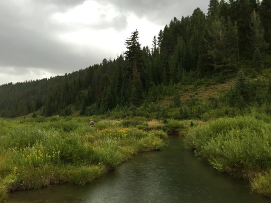
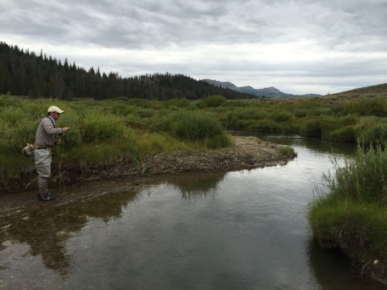
Just got back in town from an awesome fishing/camping trip Blake and I took out to Wyoming. Going through the pictures now and will hopefully write a few words about the trip soon. I’ll post a few teaser pics up now and if you look hard enough you’ll find a few more scattered throughout the site.
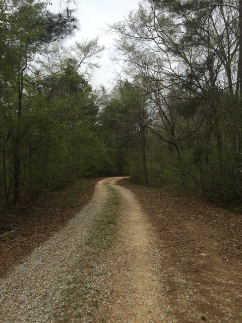
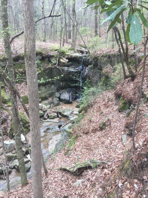
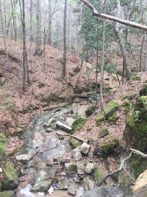
While driving home from Monroe I decided to take a short side trip over to the Sicily Island Hills to check out a really unique part of Louisiana – it’s the type of place that makes a Geography major giddy. The Sicily Island Hills are in the northeastern part of Catahoula Parish, they lie in the Ouachita River Alluvial Plain. They are a series of chalk hills that are an erosional remnant of Catahoula sandstone, lying east of the Ouachita River. With elevations rising to 245 ft, these are the only hills you will find west of the Mississippi River and east of the Ouachita. In that sense they are unique, quite the geographic outlier. With their uniqueness comes unique flora as well, this is one of the few places I’ve seen wild flowering dogwood in Louisiana. It was cool to finally get a chance to check the area out for myself. Accessing the WMA from Hwy 8, a short ride on a gravel rode had me at a trailhead for the Rock Falls Nature Trail and I was up for a short hike.
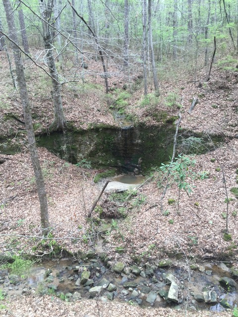
Rock Falls itself is not super impressive, until you realize you are looking at a waterfall in Louisiana, with actual boulders/rocks in the creekbed, which is something we don’t see very often down here. So relatively speaking, it may be impressive to some. I enjoyed my short side trip to the Sicily Island Hills, next time I’ll explore the northern access off of Hwy 915. There are more falls on that end, an even longer hiking trail (~7 miles) and I’m sure I could find a few fish in the creek.
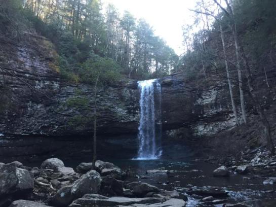
Had some work to finish up in Georgia the week before Mardi Gras, which took me on a driving tour from Columbus to Macon, up through the East side of metro Atlanta and finally toward Chattanooga. When I finished I found myself in the NW part of the state near a park I had always wanted to check out in person – Cloudland Canyon, which is on the western part of Lookout Mountain. It was late in the day and I had about two hours left of daylight, but the folks at the front office assured me I had plenty of time to see the sights. They were spot on too because in no time I was treated to this view.
Cloudland Canyon was full of scenic vistas like this one at the top of the canyon. Being a sucker for waterfalls I hiked the waterfall trail which was basically a there-and-back trip down to the bottom of the canyon. It was a breeze going down, but I had to take my time coming back up – lots of stairs. It was a really cool trail though with a lot of exposed rock.
Daniel Creek lies at the bottom of the canyon and looks like it would be fun place to sling some flies. I’ll bet it has it’s share of redeye bass. It also boats a couple impressive waterfalls that I’m told become trickles in the summer – so I got to see them when they had decent flow. I’m sure they rage after a storm. Daniel and Bear Creek meet a short ways downstream at that point of my first picture as they flow through Sitton’s Gulch, views extend over both canyons via an overlook trail.
Cloudland Canyon made for a nice end to my sojourn through Georgia, definitely worth a visit if you ever find yourself up that way – it is not too far off of I-59 near Trenton, GA. After I left the park I made my way down to Attalla, AL to have a beer with my buddy Josh before I made the drive home the next morning. He told me that those crazy Jacksons run Bear Creek when it has enough water. Wasn’t too hard to find some film of this: